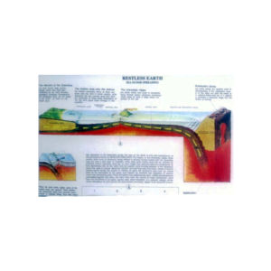
Showing upper level of an underground surface in which soil or rock is permanently saturated with water.
The water table separates the underground water zone from the capillary fringe or zone of aeration.
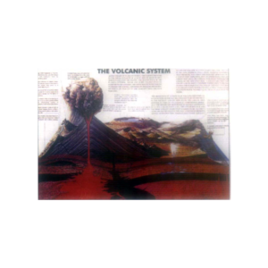
For investigation of geographical and geological features.
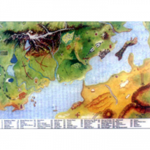
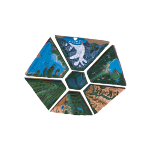
Eight landform models join to form a continuous model showing the mountains, lakes, rivers, deserts, glaciers, coastlines, cayons and cultural point, with lesson plan, size 90 x 90 cm.
Shows mining when any ore body lies at a considerable distance below the surface.
The specific mining method selected depends upon the size, shape and orientation of the ore body and the depth involved.


Reviews
There are no reviews yet.