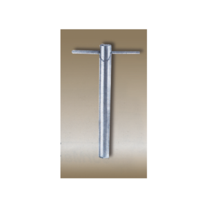
For withdrawing soil samples of consistent volume from a deep, continuous core.
Cadmium plated sample cylinder with serrated cutting edge with wooden handle.
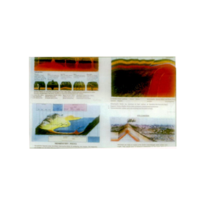
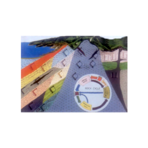
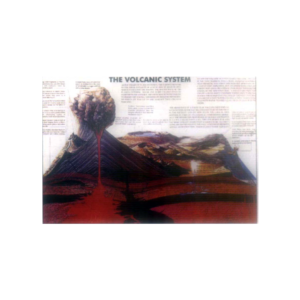
Shows coastal and mountain terrain in natural colour relief & cross section diagram of the substance of a typical volcano.
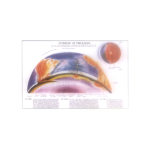
Complete with lesson plan, size 60 x 45 cm


Reviews
There are no reviews yet.