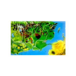
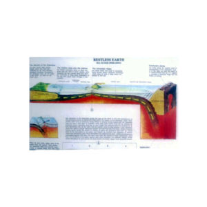
Set of 2 landform models, each includes an overlay representing ancient mountain forms that can be removed and compared with the base model to show changes millions of years later.
Cross section shows basic mountain types, volcanic fault block, glaciated domes and folded mountains with lesson plan, size 45 x 60 cm.
Relief map of North Atlantic Ocean showing typical portion of ocean floor.
It is easy to identify all the major ocean features, complete with lesson plan, size 45 x 60 cm.
Showing upper level of an underground surface in which soil or rock is permanently saturated with water.
The water table separates the underground water zone from the capillary fringe or zone of aeration.
For withdrawing soil samples of consistent volume from a deep, continuous core.
Cadmium plated sample cylinder with serrated cutting edge with wooden handle.
Shows coastal and mountain terrain in natural colour relief & cross section diagram of the substance of a typical volcano.
Complete with lesson plan, size 60 x 45 cm
For geological specimen extraction.
Set of six in plastic wallet comprising one each flat cold chisel 100 x 6 mm 130 x 9.5 mm 150 x 13 mm 180 x 16 mm 180 x 19 mm and one crosscut cold chisel 150 x 13 mm.
Reviews
There are no reviews yet.