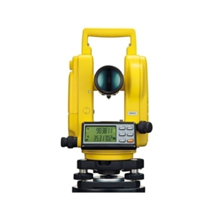
Size 178 mm /7 Internal focusing, anti reflection coated optics with tilting arrangement and Fitted with revolving horizontal circle graduated to read 6 minutes with vernier and a provision to preset zero degree quickly.
The tilting drum is graduated to read 1 : 5000 is incorporated for fine adjustment and accuracy.
Supplied with accessories and adjusting tools Packed in PVC Plastic box with Aluminium telescopic stand in carrying canvas cover.
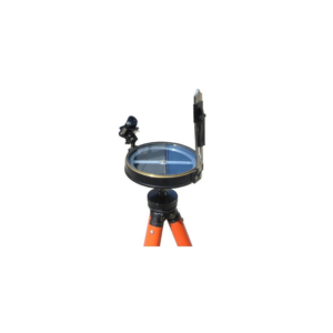
The Plane Table Surveying Instruments include standard accessories like Trough Compass, Spirit level, Canvas cover, Plumbing Fork etc., and is also with a fitted tripod.
Uses of Plane Table in Engineering Surveys:
• Maps preparation
• Recording topography
Accessories included in Plane Table Surveying Instruments:
• Plane Table Board 750 x 600 mm, thickness 22mm & 16mm
• Carrying Bag for Board
• Teak wood Polished Stand
• Stand Rigid Brass Head & Plate,
• Magnet Trough compass brass
• Spirit Level brass
• Sight van 24"
• Plumbing Fork
• Plumb Bob
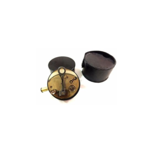
Cylindrical brass sextant in leather case. The sextand has pull out eyepieces, silvered scale and vernier magnifier on a hinged arm.
The brass cover screws onto the base as a handle.
The leather case is embossed with a flower on both sides.
The case has an attached cover which fastens with a strap.
The inside of the case is lined with purple velvet like material.
Maker's mark on sextand, embossed stamp on case.
We offer a wide range of very high quality Plane Table Accessories that are suitable for maps preparation and recording topography in various engineering surveys.
This outfit consists of a plane table board with a fitted tripod.
These products undergo various quality tests at each level of its production to ensure good quality and flawless performances.
These products are basically used in the construction industry for the purpose for surveying the land for commercial use.
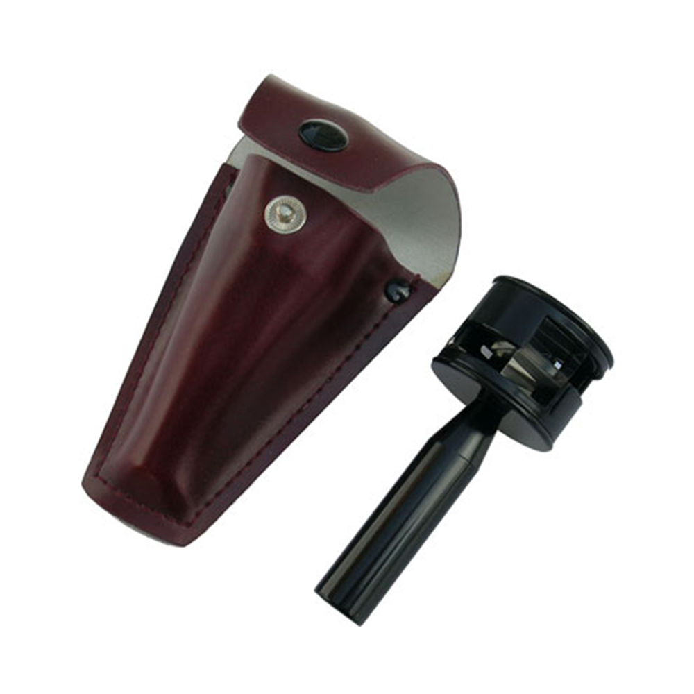
The Hand Level is a small, economical level for use with preliminary surveys to determine traveller way or cable way steel work elevations and other feasibility type site reconnaissance work.
The Abney Level is very similar to a clinometer in that it is used to measure the value of a slope by means of arc measure and grade percentage.
Specification of Abney Level
• Used to determine slope angle, tree heights etc
• Graduated 0-+/-90 degrees, 0-+/-100% on a stationary arc
• Vernier reads to 10
• Scale pointer incorporates friction thumb lock
• Includes carry case
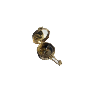
We offer Brunton Compass (Geological Compass) which is available in a leather or wooden case.
This compass differs from modern compasses, as it utilizes magnetic induction damping rather than fluid to dampen needle oscillation.
It is widely used by geologists and surveyors to make accurate degree and angle.
• Compass survey is a method of surveying by taking bearings and linear distances to produce plan.
• Bearing is measured using prismatic compass, while the linear distance is measured using measuring tape.
• Bearing in compass surveying means angle is made by chain line or survey line by referring it to magnetic meridian or magnetic north.


















Reviews
There are no reviews yet.