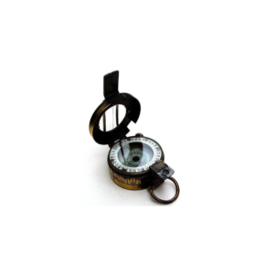
• Compass survey is a method of surveying by taking bearings and linear distances to produce plan.
• Bearing is measured using prismatic compass, while the linear distance is measured using measuring tape.
• Bearing in compass surveying means angle is made by chain line or survey line by referring it to magnetic meridian or magnetic north.
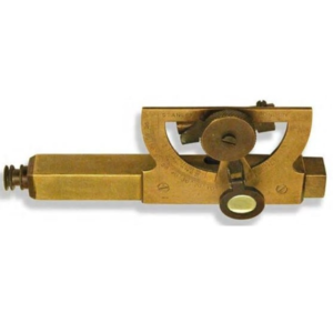
Consists of telescope eyesight and an adjustable tubular spirit level, which is connected to a semicircular protractor scale and vernier marked in both slope and degrees (90°).
A magnifier glass assists in accurate reading the degree of inclination from vernier.
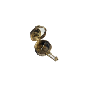
We offer Brunton Compass (Geological Compass) which is available in a leather or wooden case.
This compass differs from modern compasses, as it utilizes magnetic induction damping rather than fluid to dampen needle oscillation.
It is widely used by geologists and surveyors to make accurate degree and angle.
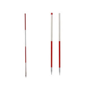
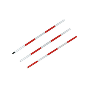
Ranging Rod that made of steel conduct pipe of 25mm dia.
Alternatively painted international orange & white.
Fitted with strong iron shoe at the bottom.
Sizes Available :
• Size 2 meter single
• Size 3 meter single
• Size 2 meter 2 fold
• Size 3 meter 3 fold.
• With steel pole Size 1.5mm dia with tilting type
• With steel pole Size 1.5mm dia without tilting type
• With steel pole Size 2.0mm dia with tilting type
• With steel pole Size 2.mm dia without tilting type
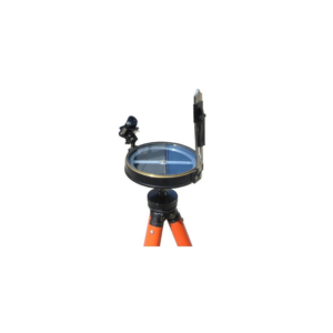
• Made of Aluminium/brass.
• Size 100mm, 125 mm, 150 mm dia.
• Complete in Case with Aluminium Telescopic/Rigid/Wooden Tripod.
• Aluminium circle consist of a needle graduated to 30min (0.5) graduations.
• Painted with water proof paints.
• Carrying cases are made of Fibre with carrying straps. Least count 30'.


Reviews
There are no reviews yet.