• Compass survey is a method of surveying by taking bearings and linear distances to produce plan.
• Bearing is measured using prismatic compass, while the linear distance is measured using measuring tape.
• Bearing in compass surveying means angle is made by chain line or survey line by referring it to magnetic meridian or magnetic north.
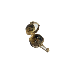
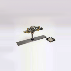
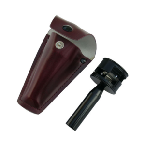
We offer Brunton Compass (Geological Compass) which is available in a leather or wooden case.
This compass differs from modern compasses, as it utilizes magnetic induction damping rather than fluid to dampen needle oscillation.
It is widely used by geologists and surveyors to make accurate degree and angle.
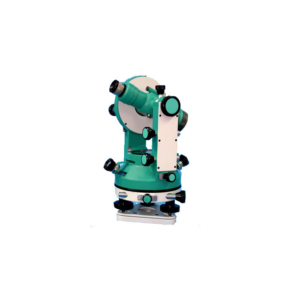
Vernier Transit Theodolite German Pattern 10 Sec.
Accuracy All Metal Body erect image, coated lens High Range Imported with Powder Coated Colured Deluxe Folding Telescopic Tripod in Cartying case complete with all standard accessories.
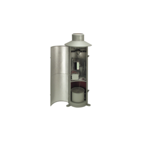
Rain gauge is designed to measure the precipitation. This small Version consisting of upper and lower housing part, measuring cylinder; Housing made of stainless steel, orifice rim made of brass.
Type 7019.0000 can be supplied with a receiving area of 100 cm2. (This type is not conforming to meteorological standards).
• Receiving area : 100 cm².
• Rain measure (graduated glass) : 250 cm³.
• Measuring range : 0 t0 25 mm precipitation (relative to a receiving area of 100 cm²).
• Graduation : 1/1 mm precipitation.
• Dimensions : dia 115 mm; height 300 mm.
• Weight : approx. 0.8 kg.
• 100 braced links.
• 2 rings per link.
• 0.10 wire.
• Cast brass handles.
• Adjustable calibration and tally tags at ± 10, 20, 30, 40 and centre on side rings.
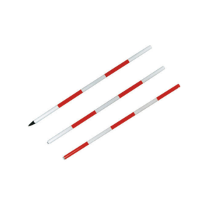
• Measuring chains with brass handles and arrows 20 m, 30 m, 40 m and 50m.














Reviews
There are no reviews yet.