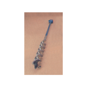
For geological specimen extraction.
Set of six in plastic wallet comprising one each flat cold chisel 100 x 6 mm 130 x 9.5 mm 150 x 13 mm 180 x 16 mm 180 x 19 mm and one crosscut cold chisel 150 x 13 mm.
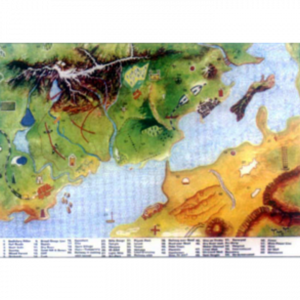
Set of 2 landform models, each includes an overlay representing ancient mountain forms that can be removed and compared with the base model to show changes millions of years later.
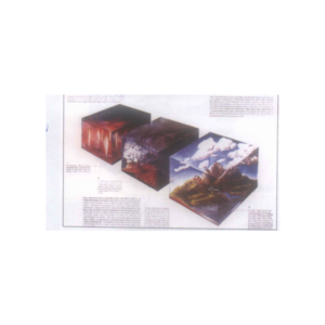
Cross section shows basic mountain types, volcanic fault block, glaciated domes and folded mountains with lesson plan, size 45 x 60 cm.


Reviews
There are no reviews yet.