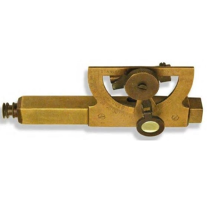
Consists of telescope eyesight and an adjustable tubular spirit level, which is connected to a semicircular protractor scale and vernier marked in both slope and degrees (90°).
A magnifier glass assists in accurate reading the degree of inclination from vernier.
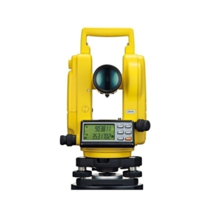
Vernier Transit Theodolite German Pattern 10 Sec.
Accuracy All Metal Body erect image, coated lens High Range Imported with Powder Coated Colured Deluxe Folding Telescopic Tripod in Cartying case complete with all standard accessories.
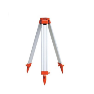
We are supply and Export of aluminum tripod stands that are procured from the trustworthy sources, who make these using high quality raw material such as brass and aluminum.
These products are also available in a powder coated finish and are especially developed for providing maximum stability and strength.
Moreover, all our products are available in various sizes, shapes and designs to fulfill the diverse needs of our clients.
This cost-effective Electronic Digital Theodolite provides excellent performance, reliable quality and practical operation for any construction application.
The body style is similar to a Topcon Digital Theodolite and is combined with easy to use operation.
The smart appearance and reasonable structure is as attractive as its price.
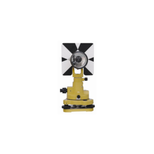
• Tribrach.
• AA Rechargeable Batteries (4 each).
• Lens Cap.
• Operator's Manual.
• Hard carrying case.
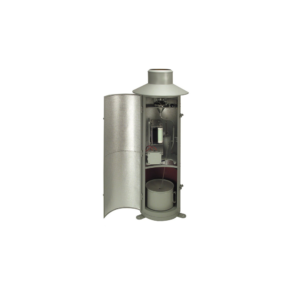
Rain gauge is designed to measure the precipitation. This small Version consisting of upper and lower housing part, measuring cylinder; Housing made of stainless steel, orifice rim made of brass.
Type 7019.0000 can be supplied with a receiving area of 100 cm2. (This type is not conforming to meteorological standards).
• Receiving area : 100 cm².
• Rain measure (graduated glass) : 250 cm³.
• Measuring range : 0 t0 25 mm precipitation (relative to a receiving area of 100 cm²).
• Graduation : 1/1 mm precipitation.
• Dimensions : dia 115 mm; height 300 mm.
• Weight : approx. 0.8 kg.
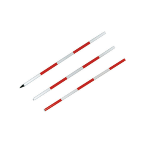
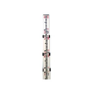
We bring forth an impeccable array of Wooden Leveling Staff to eminent customers.
Products that we come up are ideally used to cater to the various needs and preferences of customers of various construction industry along with others.
Therefore, this range is quality tested as per industry laid parameterst.


Reviews
There are no reviews yet.