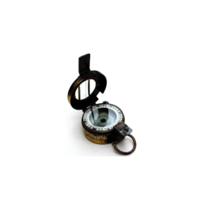
• Compass survey is a method of surveying by taking bearings and linear distances to produce plan.
• Bearing is measured using prismatic compass, while the linear distance is measured using measuring tape.
• Bearing in compass surveying means angle is made by chain line or survey line by referring it to magnetic meridian or magnetic north.
We are offering a wide range of Ghat Tracer to our customers as per their requirements and to the full satisfaction of them.
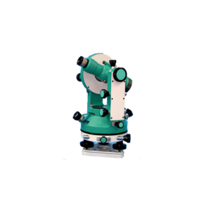
It is made of steel , iron & brass.
Size 178 mm /7 Internal focusing, anti reflection coated optics with tilting arrangement and Fitted with revolving horizontal circle graduated to read 6 minutes with vernier and a provision to preset zero degree quickly.
The tilting drum is graduated to read 1 : 5000 is incorporated for fine adjustment and accuracy.
Supplied with accessories and adjusting tools Packed in PVC Plastic box with Aluminium telescopic stand in carrying canvas cover.
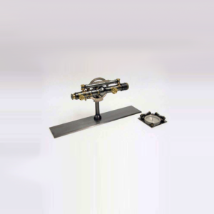
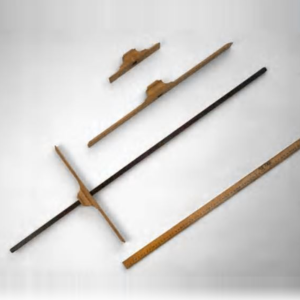
The Cross-Staff was used at sea from the beginning of the 16th century until the first half of the 18th century.
It was used to measure the sun's altitude, especially at the meridian passage. With the knowledge of the sun's declination, the mariner could then obtain his latitude.
The staff is original, with the inscription.
The cross pieces are replicas. Different cross pieces were used depending on the altitude.
A different scale is on each side of the staff.
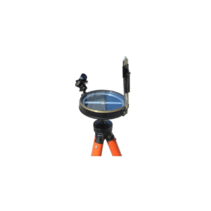
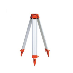
We are supply and Export of aluminum tripod stands that are procured from the trustworthy sources, who make these using high quality raw material such as brass and aluminum.
These products are also available in a powder coated finish and are especially developed for providing maximum stability and strength.
Moreover, all our products are available in various sizes, shapes and designs to fulfill the diverse needs of our clients.
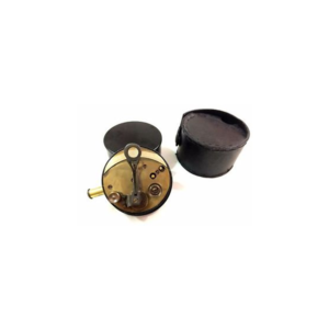
Cylindrical brass sextant in leather case. The sextand has pull out eyepieces, silvered scale and vernier magnifier on a hinged arm.
The brass cover screws onto the base as a handle.
The leather case is embossed with a flower on both sides.
The case has an attached cover which fastens with a strap.
The inside of the case is lined with purple velvet like material.
Maker's mark on sextand, embossed stamp on case.


Reviews
There are no reviews yet.